CBSE Class 11 Geography Syllabus 2021-22
Finished viewing? Save it for later —
Download CBSE Class 11 Geography Syllabus 2021-22 (PDF · 6 pages)About CBSE Class 11 Geography Syllabus 2021-22
CBSE Class 11 Geography Syllabus 2021-22 is available here for free download. Published by CBSE for Class 11, this syllabus can be viewed online or downloaded as a PDF (6 pages). Candidates preparing for Class 11 can use CBSE Class 11 Geography Syllabus 2021-22 to understand the exam pattern, the type of questions asked, and the overall difficulty level.
Frequently Asked Questions
How can I download CBSE Class 11 Geography Syllabus 2021-22?
Open this page and click the Download button to save CBSE Class 11 Geography Syllabus 2021-22 as a PDF. It is completely free on AglaSem Docs.
Is CBSE Class 11 Geography Syllabus 2021-22 free to download?
Yes. CBSE Class 11 Geography Syllabus 2021-22 can be viewed online and downloaded as a PDF free of cost on AglaSem Docs.
How many pages does CBSE Class 11 Geography Syllabus 2021-22 have?
CBSE Class 11 Geography Syllabus 2021-22 contains 6 pages, which you can read online or download together as a single PDF.
Where can I find more Class 11 study material?
You can find more Class 11 question papers, sample papers, syllabus, and answer keys on AglaSem Docs.
CBSE Class 11 Geography Syllabus 2021-22 – Text
Read the full text of this syllabus below — useful to quickly search, copy and reference the content online without downloading the PDF.
📄 View text version (6 pages)
Page 1
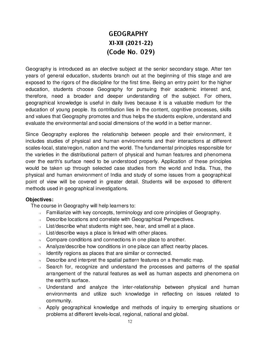
XI-XII (2021-22)
(Code No. 029)
Geography is introduced as an elective subject at the senior secondary stage. After ten
years of general education, students branch out at the beginning of this stage and are
exposed to the rigors of the discipline for the first time. Being an entry point for the higher
education, students choose Geography for pursuing their academic interest and,
therefore, need a broader and deeper understanding of the subject. For others,
geographical knowledge is useful in daily lives because it is a valuable medium for the
education of young people. Its contribution lies in the content, cognitive processes, skills
and values that Geography promotes and thus helps the students explore, understand and
evaluate the environmental and social dimensions of the world in a better manner.
Since Geography explores the relationship between people and their environment, it
includes studies of physical and human environments and their interactions at different
scales-local, state/region, nation and the world. The fundamental principles responsible for
the varieties in the distributional pattern of physical and human features and phenomena
over the earth's surface need to be understood properly. Application of these principles
would be taken up through selected case studies from the world and India. Thus, the
physical and human environment of India and study of some issues from a geographical
point of view will be covered in greater detail. Students will be exposed to different
methods used in geographical investigations.
Objectives:
The course in Geography will help learners to:
Familiarize with key concepts, terminology and core principles of Geography.
Describe locations and correlate with Geographical Perspectives.
List/describe what students might see, hear, and smell at a place.
List/describe ways a place is linked with other places.
Compare conditions and connections in one place to another.
Analyze/describe how conditions in one place can affect nearby places.
Identify regions as places that are similar or connected.
Describe and interpret the spatial pattern features on a thematic map.
Search for, recognize and understand the processes and patterns of the spatial
arrangement of the natural features as well as human aspects and phenomena on
the earth's surface.
Understand and analyze the inter-relationship between physical and human
environments and utilize such knowledge in reflecting on issues related to
community.
Apply geographical knowledge and methods of inquiry to emerging situations or
problems at different levels-local, regional, national and global.
12
Page 2
data/ information and preparation of report including maps and graphs and use of
computers where ever possible; and to be sensitive to issues.
The child will develop the competency to analyze, evaluate, interpret and apply the
acquired knowledge to determine the environmental issues effectively.
COURSE STRUCTURE
CLASS XI (2021-22)
One Theory Paper 70Marks
3Hours
Part Units No. of Marks
A Fundamentals of Physical Geography 89 35 Marks
Unit-1: Geography as a discipline 06
Unit-2: The Earth 11
Unit-3: Landforms 20
Unit-4: Climate 30 30
Unit-5: Water (Oceans) 10
Unit-6: Life on the Earth 07
Map and diagram 05 5
B India-Physical Environment 78 35 Marks
Unit-7: Introduction 04
Unit-8: Physiography 28
30
Unit-9: Climate, vegetation and soil 28
Unit-10: Natural hazards and disasters 14
Map and Diagram 04 5
Total 167 70 Marks
C Practical Work in Geography Part I 50 30 Marks
Unit-1: Fundamentals of Maps 20 10 Marks
Unit-2: Topographic and Weather Maps 30 15 Marks
Practical Record Book and Viva 5 Marks
12
Page 3
Part A: Fundamentals of Physical Geography 89
Unit 1: Geography as a Discipline 06
Geography as an integrating discipline, as a science of Periods
spatial attributes
Branches of Geography: Physical Geography and
Human Geography
Scope and Career Options (Non-evaluative)
11
Unit 2: The Earth
Origin and evolution of the earth; interior of the earth
Wegener's continental drift theory and plate tectonics
Earthquakes and volcanoes: causes, types and effects
Unit 3: Landforms 20
Rocks: major types of rocks and their characteristics Periods
Geomorphic processes: weathering; mass wasting;
erosion and deposition; soil-formation
Landforms and their evolution- Brief erosional and
depositional features
Unit 4: Climate 30
Atmosphere- composition and structure; elements of Periods
weather and climate
Insolation-angle of incidence and distribution; heat
budget of the earth-heating and cooling of atmosphere
(conduction, convection, terrestrial radiation and
advection); temperature- factors controlling
temperature; distribution of temperature-horizontal and
vertical; inversion of temperature
Pressure-pressure belts; winds-planetary, seasonal
and local; air masses and fronts; tropical and extra
tropical cyclones
12
Page 4
mist and cloud; rainfall-types and world distribution
Climate and Global Concerns
Unit 5: Water (Oceans) 10
Basics of Oceanography Periods
Oceans - distribution of temperature and salinity
Movements of ocean water-waves, tides and currents;
submarine reliefs
Ocean resources and pollution
Unit 6: Life on the Earth 07
Biosphere - importance of plants and other organisms; Periods
biodiversity and conservation; ecosystem and
ecological balance
Map work on identification of features based on 1 to 6 units on the 05
outline Physical/Political map of the world. Periods
Part B: India-Physical Environment 78
Unit 7: Introduction 04
Location, space relations, India's place in the world Periods
Unit 8: Physiography 28
Structure and Relief; Physiographic Divisions Periods
Drainage systems: Concept of river basins, watershed;
the Himalayan and the Peninsular rivers
Unit 9: Climate, Vegetation and Soil 28
Weather and climate - spatial and temporal distribution Periods
of temperature, pressure winds and rainfall, Indian
monsoon: mechanism, onset and withdrawal, variability
of rainfalls: spatial and temporal; use of weather charts
Natural vegetation-forest types and distribution; wild
life; conservation; biosphere reserves
Soils - major types (ICAR's classification) and their
distribution, soil degradation and conservation
Unit 10: Hazards and Disasters: Causes, Consequences and 14
Management Periods
Floods, Cloudbursts
12
Page 5
Earthquakes and Tsunami
Cyclones: features and impact
Landslides
Map Work of features based on above units for locating and 04
labeling on the outline Political/Physical map of India Periods
Part C: Practical Work in Geography Part I 50
Unit 1: Fundamentals of Maps 20
Geo spatial data, Concept of Geographical data matrix; Periods
Point, line, area data
Maps -types; scales-types; construction of simple linear
scale, measuring distance; finding direction and use of
symbols
Map projection- Latitude, longitude and time, typology,
construction and properties of projection: Conical with
one standard parallel and Mercator's projection. (only
two projections)
Unit 2: Topographic and Weather Maps 30
Study of topographic maps (1 : 50,000 or 1 : 25,000 Periods
Survey of India maps); contour cross section and
identification of landforms-slopes, hills, valleys,
waterfall, cliffs; distribution of settlements
Aerial Photographs: Types and Geometry-vertical
aerial photographs; difference between maps and
aerial photographs; photo scale determination.
Identification of physical and cultural features
Satellite imageries, stages in remote sensing data-
acquisition, platform and sensors and data products,
(photographic and digital)
Use of weather instruments: thermometer, wet and
dry-bulb thermometer, barometer, wind vane, rain
gauge
Practical Record Book and Viva Voce
Viva to be based on Practical Unit I and II only.
12
Page 6
COMPETENCIES Total Marks and %
70 Marks
DEMONSTRATE 26 marks- 37%
APPLICATION 26 marks - 37%
FORMULATE 18 marks – 26%
TOTAL 70 marks – 100%
12
Document Details
| Board / Org | CBSE |
| Exam | Class 11 |
| Type | Syllabus |
| Pages | 6 |
| Updated | 22 Jul 2026 |