ISC Class 11 Specimen Paper for Geography
Finished viewing? Save it for later —
Download ISC Class 11 Specimen Paper for Geography (PDF · 7 pages)About ISC Class 11 Specimen Paper for Geography
ISC Class 11 Specimen Paper for Geography is available here for free download. Published by CISCE for Class 11, this sample paper can be viewed online or downloaded as a PDF (7 pages). Candidates preparing for Class 11 can use ISC Class 11 Specimen Paper for Geography to understand the exam pattern, the type of questions asked, and the overall difficulty level.
Frequently Asked Questions
How can I download ISC Class 11 Specimen Paper for Geography?
Open this page and click the Download button to save ISC Class 11 Specimen Paper for Geography as a PDF. It is completely free on AglaSem Docs.
Is ISC Class 11 Specimen Paper for Geography free to download?
Yes. ISC Class 11 Specimen Paper for Geography can be viewed online and downloaded as a PDF free of cost on AglaSem Docs.
How many pages does ISC Class 11 Specimen Paper for Geography have?
ISC Class 11 Specimen Paper for Geography contains 7 pages, which you can read online or download together as a single PDF.
Where can I find more Class 11 study material?
You can find more Class 11 question papers, sample papers, syllabus, and answer keys on AglaSem Docs.
ISC Class 11 Specimen Paper for Geography – Text
Read the full text of this sample paper below — useful to quickly search, copy and reference the content online without downloading the PDF.
📄 View text version (7 pages)
Page 1
PAPER 1
(THEORY)
(Maximum Marks: 70)
(Time allowed: Three hours)
(Candidates are allowed additional 15 minutes for only reading the paper.
They must NOT start writing during this time.)
---------------------------------------------------------------------------------------------------------------------
Answer Sections A and B from Part I which are compulsory.
Answer any four questions from Part II.
Sketch maps and diagrams should be drawn wherever they serve to illustrate your answer.
The intended marks for questions or parts of questions are given in brackets [ ].
----------------------------------------------------------------------------------------------------
PART I (30 Marks)
Answer all questions.
SECTION A
Question 1 [10 2]
(i) Mention two drawbacks of the sedimentation method in determining the age of
the earth.
(ii) What is a Shadow Zone and why is it formed on the surface of the earth?
(iii) Name the metamorphosed form of the following rocks:
(a) Granite
(b) Sandstone
(iv) Differentiate between Exfoliation and Block Disintegration.
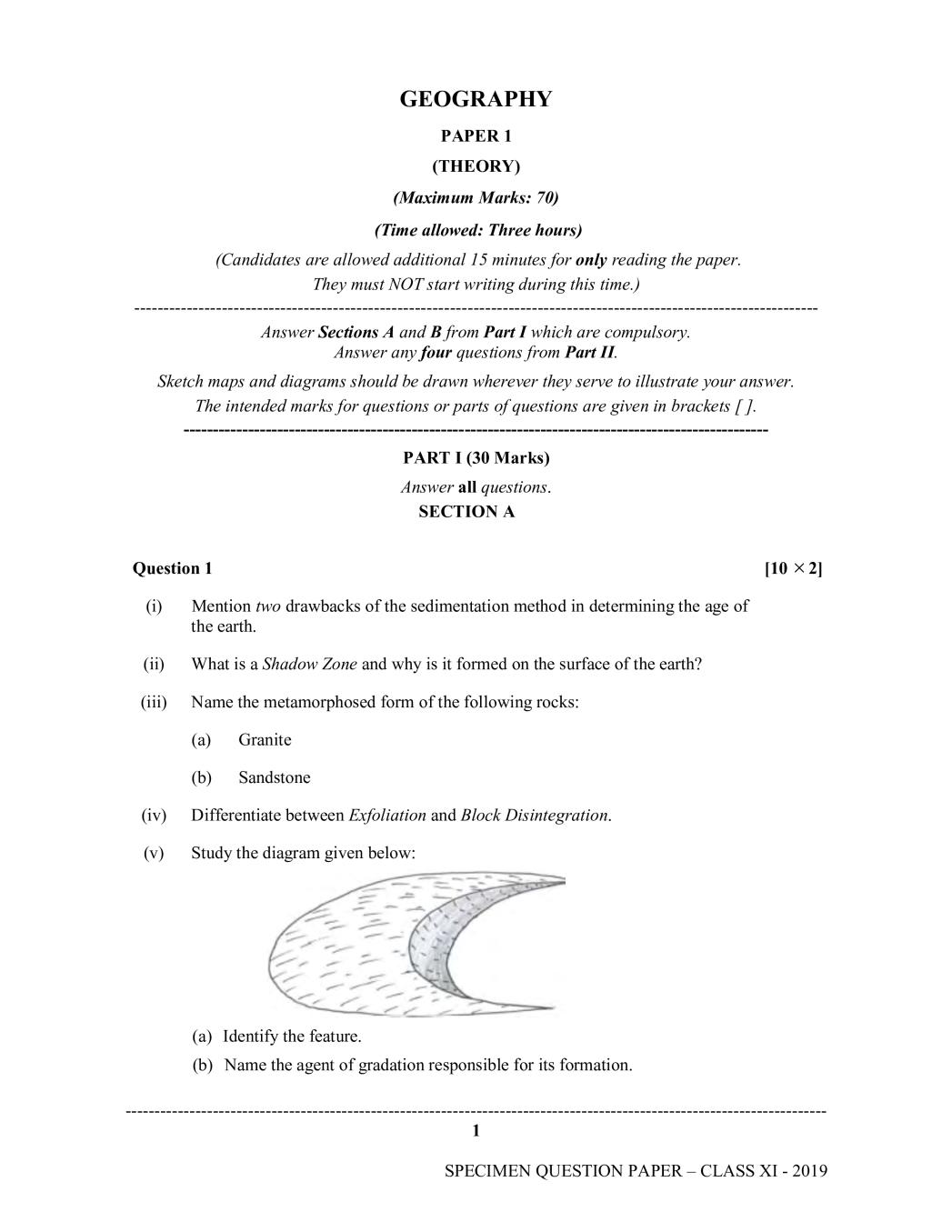
(v) Study the diagram given below:
(a) Identify the feature.
(b) Name the agent of gradation responsible for its formation.
1
Page 2
Explain what happens to the remaining units.
(vii) With the help of a neat labelled diagram show the position of the Sun, Earth and
Moon during the Spring tide.
(viii) Mention two reasons for India being a home to a variety of unique ecosystems.
(ix) Mention two characteristic features of the rainfall in the equatorial region.
(x) What is rain water harvesting? Why is it gaining popularity in India?
SECTION B
Question 2 [10]
On the outline map of the World provided:
(a) Mark and label the Drakensburg Range.
(b) Trace the course and label the river Mackenzie.
(c) Mark and label the Persian Gulf.
(d) Show the direction with an arrow and label the Gulf Stream.
(e) Mark and label the Anatolian plateau.
(f) Point with an arrow and label the island of Tasmania.
(g) Point an arrow to locate and label The Strait of Magellan.
(h) Mark an area in South America experiencing Mediterranean climate.
(i) Trace the course and label River Hwang Ho.
(j) Mark and label the Himalayas.
Note: All the map work, including legend (Index) should be done on the map sheet only.
2
Page 3
Answer any four questions.
Question 3
(a) Explain the origin of the Universe according to the Big Bang Theory. [2]
(b) (i) Mention any two differences between the Upper Crust and the Lower Crust [2]
of the Earth.
(ii) Name the discontinuity that exists between the Mantle and the Core. [1]
(c) (i) Why are Sedimentary rocks called stratified rocks? Give one example of [2]
sedimentary rock.
(ii) Why are Igneous rocks called primary rocks? [1]
(d) With the help of a neat labelled diagram show the Rock Cycle. [2]
Question 4
(a) (i) Why are volcanoes considered as the ‘Safety Valves’ of the earth? [1]
(ii) Draw a neat labelled diagram of a Composite Volcanic cone. [1]
(b) Explain any two evidences put forward by Wegener to support his theory of the [2]
Continental Drift.
(c) Differentiate between the following: [3]
(i) Epicentre and Focus
(ii) Volcanic mountain and Residual mountain
(iii) Convergent Plate Boundary and Divergent Plate Boundary.
(d) (i) “Gradation is the product of the combined actions of Degradation, [2]
Transportation and Aggradation.” Explain.
(ii) How are Laterite Soils formed? [1]
Question 5
(a) With the help of neat labelled diagrams show the following and give reasons for [3]
their difference:
(i) Shape of river Valley in the Upper Course.
(ii) Shape of a glacial valley in the mountain.
3
Page 4
(i) Identify the feature. [1]
(ii) Explain how this is formed. [2]
(c) Differentiate between the following: [2]
(i) Fringing Reef and Atoll
(ii) Stalactite and Stalagmite
(d) (i) Why is there an urgent need for conservation of water resources in our [2]
country?
Question 6
(a) Other than reflection, scattering, absorption and giving the morning and evening [2]
sky an orange hue, explain an important role played by dust particles in the
atmosphere.
(b) With the help of a neat labelled diagram show the major pressure belts in the [2]
Northern Hemisphere.
(c) Give Geographical reasons to explain why: [2]
(i) The troposphere is thicker over the equator and shallow over the poles.
(ii) Isotherms bend while crossing from land to oceans.
(d) Differentiate between Relative Humidity and Absolute Humidity. [2]
(e) Mention the characteristic features of Convectional rainfall. [2]
4
Page 5
(a) Differentiate between [2]
(i) Continental Shelf and Continental Slope
(ii) Terrigenous Deposits and Pelagic Deposits
(b) Mention three factors which influence salinity in oceans. [3]
(c) State three ways in which ocean currents influence life along the regions they flow. [3]
(d) Explain the role of El Nino in influencing monsoons over India. [2]
Question 8
(a) Briefly explain the different components of the biosphere. [3]
(b) Mention any two reasons explaining the need for conserving biodiversity. [2]
(c) Explain the following terms: [2]
(i) Gene banks
(ii) Biodiversity
(d) Study the given sketch map and answer the following: [3]
(i) Name the climatic region shown on the map, labelled A.
(ii) State the climatic conditions of the given region.
(iii) Name the dominant natural vegetation found in this climatic region.
5
Page 6
(a) Briefly discuss any three factors responsible for climate change. [3]
(b) With reference to India, answer the following questions: [2]
(i) State any one evidence which shows climatic change has taken place in India.
(ii) Mention any two measures taken to adapt to the climatic change you have
mentioned in question (b) (i).
(c) (i) Identify the natural disaster from the given photograph and answer the [1]
following questions:
(ii) Mention any two causes for the occurrence of this natural disaster. [1]
(iii) Name any one region affected by it in India. [1]
(iv) Mention any two remedial measures to reduce its impact on human life. [1]
(d) State any two causes of floods in India. [1]
6
Page 7
(This map must be fastened with all other answers)
MAP FOR Q. NO. 2. MAP OF THE WORLD