PUMDET 2018 Question Paper Geography
Finished viewing? Save it for later —
Download PUMDET 2018 Question Paper Geography (PDF · 9 pages)About PUMDET 2018 Question Paper Geography
PUMDET 2018 Question Paper Geography is available here for free download. Published by WBJEEB for PUMDET, this question paper can be viewed online or downloaded as a PDF (9 pages). Candidates preparing for PUMDET can use PUMDET 2018 Question Paper Geography to understand the exam pattern, the type of questions asked, and the overall difficulty level.
Frequently Asked Questions
How can I download PUMDET 2018 Question Paper Geography?
Open this page and click the Download button to save PUMDET 2018 Question Paper Geography as a PDF. It is completely free on AglaSem Docs.
Is PUMDET 2018 Question Paper Geography free to download?
Yes. PUMDET 2018 Question Paper Geography can be viewed online and downloaded as a PDF free of cost on AglaSem Docs.
How many pages does PUMDET 2018 Question Paper Geography have?
PUMDET 2018 Question Paper Geography contains 9 pages, which you can read online or download together as a single PDF.
Where can I find more PUMDET study material?
You can find more PUMDET question papers, sample papers, syllabus, and answer keys on AglaSem Docs.
PUMDET 2018 Question Paper Geography – Text
Read the full text of this question paper below — useful to quickly search, copy and reference the content online without downloading the PDF.
📄 View text version (9 pages)
Page 1
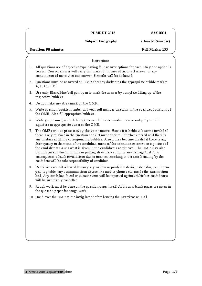
Subject: Geography (Booklet Number)
Duration: 90 minutes Full Marks: 100
Instructions
1. All questions are of objective type having four answer options for each. Only one option is
correct. Correct answer will carry full marks 2. In case of incorrect answer or any
combination of more than one answer, ½ marks will be deducted.
2. Questions must be answered on OMR sheet by darkening the appropriate bubble marked
A, B, C, or D.
3. Use only Black/Blue ball point pen to mark the answer by complete filling up of the
respective bubbles.
4. Do not make any stray mark on the OMR.
5. Write question booklet number and your roll number carefully in the specified locations of
the OMR. Also fill appropriate bubbles.
6. Write your name (in block letter), name of the examination centre and put your full
signature in appropriate boxes in the OMR.
7. The OMRs will be processed by electronic means. Hence it is liable to become invalid if
there is any mistake in the question booklet number or roll number entered or if there is
any mistake in filling corresponding bubbles. Also it may become invalid if there is any
discrepancy in the name of the candidate, name of the examination centre or signature of
the candidate vis-a-vis what is given in the candidate’s admit card. The OMR may also
become invalid due to folding or putting stray marks on it or any damage to it. The
consequence of such invalidation due to incorrect marking or careless handling by the
candidate will be sole responsibility of candidate.
8. Candidates are not allowed to carry any written or printed material, calculator, pen, docu-
pen, log table, any communication device like mobile phones etc. inside the examination
hall. Any candidate found with such items will be reported against & his/her candidature
will be summarily cancelled.
9. Rough work must be done on the question paper itself. Additional blank pages are given in
the question paper for rough work.
10. Hand over the OMR to the invigilator before leaving the Examination Hall.
QP-PUMDET-2018-Geography FINAL.docx Page: 1/9
Page 2
Page 3
1. The discourse in Geography is mainly of
(A) Science (B) Humanities
(C) Interdisciplinary (D)Multidisciplinary
2. The debate of nomothetic versus idiographic approach in geography primarily concerns to
(A) Generalization overruling uniqness of spatial attributes
(B) Selection of temporal scales
(C) Selection of spatial scales
(D) Geographical model building
3. Which one of the following statements is correct with reference to a vernier constant?
(A) It has a unit
(B) It has a constant value in all scales
(C) It depends on the length of the main scale
(D) It is the difference of distance between the least count of the main scale and the smallest
division of the attached vernier.
4. Consider the following tables and find out the correct match.
Table – I Table –II
(a) Arenaceous rocks (i) Graphite
(b) Agrillaceous rocks (ii) Quartzite
(c) Calcarious rocks (iii) Schist
(d) Carbonaceous rocks (iv) Marble
(A) (a) and (iii) (B) (b) and (iv)
(C) (c) and (ii) (D) (d) and (i)
5. What will be the number of the SOI topographical sheet immediately south of the sheet no. 73 A/16
?
(A) 73 B/4 (B) 73 B/1 (C) 73 A/15 (D) 72 B/12
6. If we want to erect watch towers, which type of the following profiles drawn from a topographical
sheet may be helpful?
(A) Longitudinal profile (B) Cross-Sectional profile
(C)Composite profile (D) Projected profile
7. ‘Research and innovation’ will represent the type of economic activity under
(A) Secondary (B) Tertiary (C) Quaternary (D) Quinary
8. ‘Spatial Demand Cone’ is a concept in industrial location theory propounded by
(A) Weber (B) Loseh (C) Isard (D) Myrdal
QP-PUMDET-2018-Geography FINAL.docx Page: 3/9
Page 4
(A) It has adopted the techniques of green resolution
(B) It is a subsistence type of farming
(C) It has low yield per capita
(D) Wet paddy is the principal crop.
10. The equal area property in the Cylindrical Equal Area Projection is maintained as
(A) RSF < TSF (B) RSF > TSF
(C) RSF =TSF (D) RSF = 1/ TSF
Where RSF stands for Radial Scale Factor and TSF stands for Tangential Scale Factor.
11. Which one of the following statements is true with regard to UTM Projection?
(A) It is a non conformal projection
(B) It is used to map the whole world
(C) Position on earth in this projection is defined on the basis of UTM zone number and
Easting and Northing.
(D) It divides the earth into sixty zones of uniformly 6-degree band of longitudes.
12. Reduced Level (RL) in Dumpy Level Survey is defined as the difference of elevation between
(A) Bench Mark (BM) and Staff reading (SR) (B) Collimation line (CL) and SR
(C) BM and CL (D) Back sight (BS) and Fore sight (FS)
13. The forward magnetic bearing of fore bearing of line AB with a reading of 0 (zero) degree taken by a
prismatic compass will be written as
(A) ∠ NAB = 0 (B) ∠ BAN = 0 (C) ∠ ANB = 0 (D) ∠ ABN = 0
Where N is indicating the magnetic North
14. The theory of plate Tectonics is regarded as a ‘unified theory’ because
(A) It unifies all theories concerning development of landforms.
(B) The plates are theoretically unified since their origin
(C) It explains the origin of most of the structural forms associated with the earth’s crust.
(D) It was developed to replace the Continental Drift Theory.
15. Penck’s landscape evolution model advocates
(A) Slope retreat (B) Slope replacement
(C) Slope development (D) Slope evolution
16. With reference to the ‘Demographic Transition Model’, India’s present position is at
(A) Pre transitional stage (B) Early transitional stage
(C) Mid transitional stage (D) Post transitional stage
QP-PUMDET-2018-Geography FINAL.docx Page: 4/9
Page 5
(A) Females appear to predominate (B) Males appear to predominate
(C) There is no gender selectiveness (D) Workers appear to predominate
18. The types of rural settlements can be determined quantitatively on the basis of
(A) Settlement density (B) Settlement hierarchy
(C)House types (D) Nearest Neighbour Analysis
19. ‘Rank size Rule’ provides a measure of
(A) Density of urban settlements (B) Connectivity of urban settlements
(C) Privacy of regional settlement hierarchy (D) Nature of urban morphology
20. What will be the radius (before reduction to an appropriate scale for drawing) of the sphere to
represent the population size (P) of a town?
P P P 3P
(A) (B) 3 (C) 3 (D) 3
π π 4πr 2 4π
21. A ‘Ternary Diagram’ is prepared to represent
(i) Soil texture classes (ii) Occupational structure of population
(A) only (i) (B) Only (ii) (C) Both (i) and (ii) (D) Neither (i) nor (ii)
22. ‘ Relative Relief’of a region can be best represented with the help of
(A) An isopleths map (B) A choropleth map (C) Contour lines (D) Spot heights
23. Which one of the following is a product of deep weathering?
(A) Core stone (B) Soil (C) Bornhardt (D) Drip stone
24. ‘Knick Point’ indicates
(A) Presence of a dyke (B) Change in the base level
(C)Existence of a waterfall (D)Interruption to the fluvial cycle
25. Glacial deposits can be differential from fluvial deposits by
(A) Their size (B) Their shape
(C) Their shape and assortment (D) Their size and shape
26. Which one is the correct sequence of landforms types found from the land to the sea side on an ideal
beach?
(A) Sand ripples, Runnel, Berms (B) Berms, Sand ripples, Runnel
(C) Runnel, Berms, Sand ripples (D) Sand ripples, Berms, Runnel
QP-PUMDET-2018-Geography FINAL.docx Page: 5/9
Page 6
(A) The planetary winds (B) The Ocean Currents
(C) Both planetary winds and ocean Currents (D) The atmospheric windows
28. Condensation of atmospheric moisture depends on
(A) Height (B) Temperature (C) Humidity (D) Saturation
29. Which one of the statements with regard to the Tropical Cyclones (TC) is not correct?
(A) The Bay of Bengal is a breeding ground of the TC
(B) High sea surface temperature (SST) produces TC
(C) TC requires coriolis deflection
(D) The mean annual frequency of TC is more in the Bay of Bengal than in the Arabian Sea.
30. Which one of the following is not associated with a raster data?
(A) It appears as a pixel
(B) An aerial photograph is an example of raster data.
(C) When a map is scanned an image produced is a raster data.
(D) Raster data of very small pixel size becomes a vector data.
31. While preparing a map in the scale of 1: 10 million, the Hooghly river will be digitized as
(A) A point (B) A line
(C) A polygon (D) None of the above
32. On which of the following surfaces run off is expected to be the maximum?
(A) Bare earth (B) Crop land (C) Pasture (D) Forest
33. ‘Unit Hydrograph’ is a graphical representation of direct run off from
(A) One unit of effective rainfall, e.g. 1 cm falling uniformly over a watershed.
(B) Rainfall occurred in one unit of time, e.g. 1 hour falling uniformly over a watershed.
(C) one cm of effective rainfall uniformly occurring in one hour period over a watershed.
(D) One unit of effective rainfall occurring uniformly over a watershed at a uniform rate
during a unit period of time.
34. Much of the floor of the pacific ocean is made up of
(A) Mid oceanic ridges (B) Abyssal plains
(C) Oceanic deeps (D) Islands
35. Radiolarian ooze is mainly found on
(A) The continental shelf areas of the Temperate region
(B)The continental slope areas of the Antarctic region
(C) The deep seas of the Tropical region
(D) The shallow seas of the Tropical region
QP-PUMDET-2018-Geography FINAL.docx Page: 6/9
Page 7
(A)Lateritic soil (B) Alluvial soil
(C) Chernozen soil (D) Black soil
37. The difference of acidity between pH of 5 and pH of 7 of two soils is
(A)2 units (B)2 times (C) 10 units (D) 100 times
38. A tribal group does not posses
(A)Social ties (B) Common language
(C) Cultural hegemony (D) Territorial homeland
39. ‘Social distance’ is exhibited by
(A) Inter caste marriage (B) Social interaction
(C) Residential segregation (D) Occupational shift
40. Which one of the following is historically considered as a primary ‘Cultural Hearth’?
(A)The Narmada Valley (B)The Ganges Valley
(C) The Brahmaputra Valley (D) The Godavari Valley
41. Currently the maximum share of speakers among the world language families is
(A) Indo European (B) Sino Tibetan (C) Niger Congo (D)Afro Asiatic
42. The term ‘Lebensraum’ in political Geography was first used by
(A) Oscar Peschel (B) Friedrich Ratzel
(C) Karl E. Haushofer (D) Carl Ritter
43. The concept of ‘World island’ in H.J. Mackinder’s Heartland Theory consists of
(A) Europe (B) Asia
(C) Europe and Asia (D) Europe, Asia and Africa
44. Consider the below mentioned data series and state which one of the following measures of Central
tendencies will be the most representative for this?
Data series : 10,40,39,10,110
(A)Arithmatic Mean (B) Geometric Mean
(C)Median (D) Mode
45. Under what circumstance a frequency polygon becomes a frequency curve?
(A) When the points representing the respective frequencies of the classes are joined by free
hand.
(B) When class intervals are very short
(C) When the plotting is done of the basis of frequency densities.
(D) None of the above.
QP-PUMDET-2018-Geography FINAL.docx Page: 7/9
Page 8
(A) It has space before sensors.
(B) It can be either geo-stationary or gun - synchronus.
(C) It is a passive kind of remote sensing.
(D) The sensing is based on solar electromagnetic radiation.
47. In a false colour composite (FCC) for visual interpretation young and dense mangrove forest should
appear as
(A) smooth and dark green (B) coarse and light green
(C) smooth and dark red (D) coarse and light red
48. What will be the scale (RF) of an aerial photograph if the focal length of the camera (lens) is 8.5 cm
and the flying height of aircraft taking the photograph is 7 km above the mean sea level (datum)?
Height of the surface for which the photograph has been taken is 1900 m above the datum.
(A) 1:50000 (B) 1:55000
(C) 1:58500 (D) 1:60000
49. In terms of Net Primary Productivity (NPP in g/m2/Yr) the maximum production biomass type is
(A)Forests (B)Cultivated lands (C)Estuaries (D) Grasslands
50. Which one of the following statements is true about phosphorous cycle?
(A) It is hugely present in the atmosphere.
(B) It has a prolonged gaseous phase.
(C) Exchange of phosphorous is very fast between the continents and the oceans.
(D) Much of it is stored as phosphate in sedimentary rocks.
51. Most of the major river courses in India are controlled by their associated
(i) Structure (ii) Relief (iii) Human Activities (iv) Climate
(A) (i) and (ii) (B) (i),(ii) and (iii)
(C) (i),(ii) and (iv) (D) (i), (ii),(iii) and (iv)
52. ‘Adi’ tribe is indigenous to the state of
(A) Nagaland (B) Mizoram (C) Arunachal Pradesh (D) Assam
53. What was the average (Median) age of India’s population as per 2011 census?
(A) 20 years (B) 24 years (C) 28 years (D) 32 years
54. Which city remarked the first in the first round of selection (in January 2016) of the ‘Smart Cities
Mission’ in India, 2015?
(A) Bhubaneswar (B) Ahmadabad (C) Surat (D) Jaipur
QP-PUMDET-2018-Geography FINAL.docx Page: 8/9
Page 9
(A) Collection of evidences from the real world
(B) Experiments in the laboratories
(C) Application of rational knowledge in the society.
(D) Use of experimental theories in the real world.
56. The famous book ‘ Explanation in Geography’ was written by
(A) Carl o’ Saucer (B) David Harvey (C) Richard Hartshorne (D) B.J.L Berry
57. Which one of the following issues can be appropriately explained by the concept of ‘Stop and go’
Determinism?
(A) Industrial growth (B) Population Change
(C) Environmental degradation (D) None of the above.
58. Identification of an unconformity on a geological map is usually possible if
(A) Strike lines of different formations usually intersect.
(B) ? of older series cover the younger series.
(C) ? of younger series rest at higher altitude.
(D) Strike lines of different formations are parallel to each other and are equally spaced.
59. Which one of the following types of climatic diagrams is required to set up a smoke emitting
industrial unit and for the purpose of its monitoring?
(A) rainfall Temperature Graph (B) Barograph
(C) Wind Rose (D) Climograph
60. Suppose 30 samples out of 300 households of different socio economic status of a village need to be
selected through door to door survey. The appropiate sampling technique(s) will be
(A) Quota (B) Random (C) Purposive (D) Purposive and then Random
QP-PUMDET-2018-Geography FINAL.docx Page: 9/9
Document Details
| Board / Org | WBJEEB |
| Exam | PUMDET |
| Type | Question Paper |
| Pages | 9 |
| Updated | 22 Jul 2026 |