ICSE Class 10 Question Paper 2025 Geography
Finished viewing? Save it for later —
Download ICSE Class 10 Question Paper 2025 Geography (PDF · 13 pages)About ICSE Class 10 Question Paper 2025 Geography
ICSE Class 10 Question Paper 2025 Geography is available here for free download. Published by CISCE for Class 10, this question paper can be viewed online or downloaded as a PDF (13 pages). Candidates preparing for Class 10 can use ICSE Class 10 Question Paper 2025 Geography to understand the exam pattern, the type of questions asked, and the overall difficulty level.
Frequently Asked Questions
How can I download ICSE Class 10 Question Paper 2025 Geography?
Open this page and click the Download button to save ICSE Class 10 Question Paper 2025 Geography as a PDF. It is completely free on AglaSem Docs.
Is ICSE Class 10 Question Paper 2025 Geography free to download?
Yes. ICSE Class 10 Question Paper 2025 Geography can be viewed online and downloaded as a PDF free of cost on AglaSem Docs.
How many pages does ICSE Class 10 Question Paper 2025 Geography have?
ICSE Class 10 Question Paper 2025 Geography contains 13 pages, which you can read online or download together as a single PDF.
Where can I find more Class 10 study material?
You can find more Class 10 question papers, sample papers, syllabus, and answer keys on AglaSem Docs.
ICSE Class 10 Question Paper 2025 Geography – Text
Read the full text of this question paper below — useful to quickly search, copy and reference the content online without downloading the PDF.
📄 View text version (13 pages)
Page 1
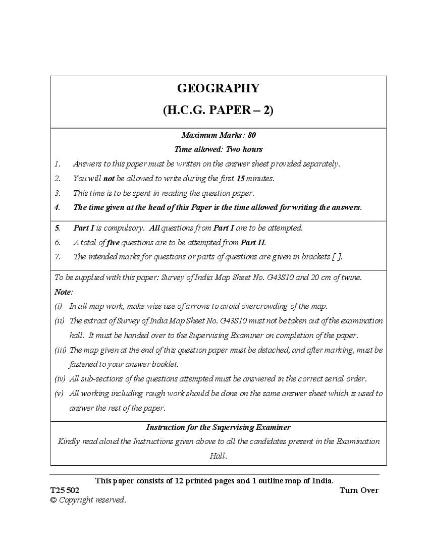
(H.C.G. PAPER – 2)
Maximum Marks: 80
Time allowed: Two hours
1. Answers to this paper must be written on the answer sheet provided separately.
2. You will not be allowed to write during the first 15 minutes.
3. This time is to be spent in reading the question paper.
4. The time given at the head of this Paper is the time allowed for writing the answers.
5. Part I is compulsory. All questions from Part I are to be attempted.
6. A total of five questions are to be attempted from Part II.
7. The intended marks for questions or parts of questions are given in brackets [ ].
To be supplied with this paper: Survey of India Map Sheet No. G43S10 and 20 cm of twine.
Note:
(i) In all map work, make wise use of arrows to avoid overcrowding of the map.
(ii) The extract of Survey of India Map Sheet No. G43S10 must not be taken out of the examination
hall. It must be handed over to the Supervising Examiner on completion of the paper.
(iii) The map given at the end of this question paper must be detached, and after marking, must be
fastened to your answer booklet.
(iv) All sub-sections of the questions attempted must be answered in the correct serial order.
(v) All working including rough work should be done on the same answer sheet which is used to
answer the rest of the paper.
Instruction for the Supervising Examiner
Kindly read aloud the Instructions given above to all the candidates present in the Examination
Hall.
This paper consists of 12 printed pages and 1 outline map of India.
T25 502 Turn Over
© Copyright reserved.
Page 2
(Attempt all questions from this Part.)
Question 1
Study the extract of the Survey of India Map Sheet No. G43S10 and answer the
following questions:
(i) (a) Give the six-figure grid reference for spot height .437 in the [2]
southeastern part of the map extract.
(b) Aman, a local craftsman, wants to sell his product to a large gathering
to earn money instantly.
1. Which settlement should he go to?
2. Name the month in which he should visit the settlement named by
you above.
(ii) (a) On which bank of the Sukli nadi is the settlement of Pamera situated? [2]
(b) Identify the settlement pattern seen in the grid square 6732.
(iii) Roshan, while travelling from Sirori to Tokra, observed that the surface [2]
water sources are dry except for the reservoir near Tokra.
(a) What according to you may be the reason for the presence of water in
the reservoir in 6832 near Tokra settlement?
(b) State whether this reservoir is artificial or natural source of water.
(iv) (a) What is the direct distance between Gulabganj to Pithapura? Give [2]
your answer in kilometre.
(b) Mention the compass direction of Pithapura from Gulabganj.
(v) (a) Name two man-made features seen in the grid square 6534. [2]
(b) Define contour interval.
T25 502 2
Page 3
On the outline map of India provided:
(i) Mark and label the Nathu-La pass. [1]
(ii) Shade and name the coastal plain that occupies a large part of Kerala. [1]
(iii) Mark and label Digboi. [1]
(iv) Mark and label Chilka lake. [1]
(v) Mark with arrows and name the wind that brings rainfall to Tamil Nadu [1]
coast during winter.
(vi) Mark and label the river Sutlej. [1]
(vii) Mark and label the Standard Meridian of India. [1]
(viii) Mark and label Satpura range. [1]
(ix) Shade and label the Chota Nagpur plateau. [1]
(x) Mark and label Visakhapatnam. [1]
Question 3
Choose the correct answers to the questions from the given options. [10]
(Do not copy the questions, write the correct answers only.)
(i) Assertion(A): Mumbai receives more rainfall than Pune.
Reason(R): Mumbai gets rain from Arabian Sea branch of southwest
monsoon.
(a) Both (A) and (R) are true and (R) is the correct explanation for (A).
(b) Both (A) and (R) are true and (R) is not the correct explanation for (A).
(c) (A) is true and (R) is false.
(d) (A) is false and (R) is true.
T25 502 3 Turn Over
Page 4
terms of their colour and texture?
(a) Alluvial soil and laterite soil
(b) Black soil and red soil
(c) Red soil and laterite soil
(d) Alluvial soil and black soil
(iii) The type of natural vegetation shown in the picture given below is found in:
(a) Tropical desert
(b) Tropical deciduous
(c) Tropical evergreen
(d) Littoral forest
(iv) Which of the following prevents wastage of water?
(a) Canal
(b) Well
(c) Sprinkler
(d) Tube well
T25 502 4
Page 5
(a) Copper
(b) Coal
(c) Iron Ore
(d) Petroleum
(vi) A microbiological process that loosens the bark of a crop and facilitates
removal of fibre from the stalk:
(a) Rolling
(b) Ratooning
(c) Retting
(d) Fermentation
(vii) Which industry amongst the following has revolutionised the lifestyle of the
Indian masses in recent years?
(a) Cotton Textile
(b) Electronic
(c) Iron and Steel
(d) Sugar
(viii) Which of the following household products is associated with the
petrochemical industry?
(a) Glass bottle
(b) Wooden chopping board
(c) Kitchen knife
(d) Plastic mug
T25 502 5 Turn Over
Page 6
basis. Which mode of transport is he most likely to use?
(a) Railway
(b) Roadway
(c) Airway
(d) Waterway
(x) The collection of discarded materials and converting them into useful
products is:
(a) Recycling
(b) Processing
(c) Reducing
(d) Composting
PART II (50 Marks)
(Attempt any five questions from this Part.)
Question 4
(i) ‘Severe cyclonic storms are often formed over the Bay of Bengal during the [2]
retreating monsoon season.’
(a) Name two states that are affected by tropical cyclones on the eastern
coast of India.
(b) The temperate cyclones cause less damage than the tropical cyclones.
Give any two points to support this statement.
(ii) (a) Name the local wind that causes rainfall in the states of Assam and [2]
West Bengal in the month of April.
(b) How is this rainfall beneficial for the states mentioned above?
T25 502 6
Page 7
that follow:
Figure A Figure B
(a) Name the winds shown by arrows in Figure A and Figure B.
(b) How is the wind shown in Figure A different from the one shown in
Figure B?
(iv) Study the climate data of station X and answer the following questions: [3]
Month Jan Feb Mar Apr May June July Aug Sep Oct Nov Dec
Temp (°C) 24.0 25.4 26.7 28.3 30.0 28.9 27.6 27.4 27.3 27.1 27.0 25.0
Rainfall(cm) 0.25 0.25 - - 1.75 50.2 61.0 37.0 27.0 4.75 1.50 -
(a) What is the annual range of temperature for station X?
(b) Which is the wettest month?
(c) Name the wind which brings rainfall for station X during the rainy season.
Question 5
(i) The Ganga Plain is known for its fertile soil. It is often referred to as the food [2]
bowl of India. This region supports a variety of crops such as rice, wheat, pulses,
jute and sugarcane.
(a) Name the soil that is found in large parts of Ganga plain.
(b) Give two properties of this soil which helps it to produce a variety of crops.
T25 502 7 Turn Over
Page 8
(b) Name any two agents of soil erosion.
(iii) Give a geographical reason to explain each of the following: [3]
(a) Soil conservation is the need of the hour.
(b) Red soil has a poor water retention capacity.
(c) Laterite soils are infertile.
(iv) With reference to black soil of India, answer the following questions. [3]
(a) How is this soil formed?
(b) How is this soil able to retain moisture for a long period?
(c) Mention any two minerals present in this soil.
Question 6
(i) India has lost 2.33 million hectares of tree cover since the year 2000. This [2]
is equivalent to a six percent decrease in tree cover during this period.
Source: The Indian Express, Date: 12.04.2024
(a) Mention any two causes of the decrease in the forest cover of India.
(b) Name a conservation method that may be used to help in increasing
the forest cover.
(ii) Mention the climatic condition suitable for the development of tropical [2]
evergreen forest.
(iii) State any three differences between tropical deciduous and tropical desert [3]
vegetation.
(iv) (a) Give any two reasons for the great diversity of natural vegetation in India. [3]
(b) How do the forests help in maintenance of air quality?
T25 502 8
Page 9
(i) Mention any one advantage and any one disadvantage of well irrigation. [2]
(ii) Suggest any two measures to overcome scarcity of water in the metropolitan [2]
cities of India.
(iii) Give one reason to explain each of the following: [3]
(a) Tank irrigation is NOT common in Northern India.
(b) Canal irrigation is important in Punjab.
(c) All farmers do not use tube well irrigation even if the geographical
condition is favourable.
(iv) State any three objectives of rainwater harvesting. [3]
Question 8
(i) With the rising price of fossil fuel every passing day, it is very important to [2]
develop non-conventional energy resource.
— Bulletin – Department of non-conventional sources of energy
(a) Name a non-conventional energy source that can be harnessed by
taking advantage of India’s vast coastline.
(b) State one advantage of using geothermal energy.
(ii) (a) How is Biogas formed? [2]
(b) Mention any one advantage of Biogas over other non-conventional
energy resources.
(iii) Give a reason for each of the following. [3]
(a) Iron ore is called a versatile mineral.
(b) Windmills set up on agricultural lands are beneficial to farmers.
(c) Coal is the most preferred source of energy in Indian industries.
T25 502 9 Turn Over
Page 10
(a) Identify the type of energy being generated in the picture given above.
(b) State why this type of energy is cheaper in the long run.
(c) Name a power project associated with the generation of this energy in
the northern part of India.
Question 9
(i) Mention two climatic conditions that favour the cultivation of groundnut. [2]
(ii) Give any two reasons why Maharashtra has emerged as an important [2]
sugarcane producing state.
(iii) Give one reason to explain each of the following: [3]
(a) Trees are planted in between the rows of coffee plants.
(b) Cotton cultivation requires plenty of cheap labour.
(c) Hill slopes are best suited for tea cultivation.
(iv) Explain the following: [3]
(a) Mixed farming
(b) Zayad
(c) Transplantation
T25 502 10
Page 11
(i) State any two factors that are responsible for the growth of the cotton textile [2]
industry in Kolkata.
(ii) ‘Karnataka is the leading state for silk production in India.’ [2]
Give any two reasons to justify the above statement.
(iii) (a) Name the Iron and Steel industry located at Chhattisgarh. [3]
(b) From where does the industry named by you above get its supply of
the following?
1. Iron ore
2. Coal
(iv) Raghav has been given a project by his teacher in which he has to write [3]
about the by-products of an industry that is used for preparing shoe polish,
carbon paper and cardboard.
(a) Which industry will he be writing about?
(b) Name any two by-products of the industry mentioned by you.
Question 11
(i) Why is a well-developed transport network important for India? [2]
(ii) Mention any two advantages of road transport. [2]
(iii) Name the following: [3]
(a) The mode of transport that ensures comfortable journey, especially for
elders and children.
(b) The highway connecting Silchar in Assam to Porbandar in Gujarat.
(c) The cheapest means of transport for bulky goods.
T25 502 11 Turn Over
Page 12
(a) Airways are the most efficient mode of transport to connect Northeast
India with the rest of the country.
(b) Railways are easily developed in the Northern Plains of India.
(c) Rivers of peninsular India are NOT ideal for inland water transport.
Question 12
(i) (a) Give a reason for a substantial rise of E-waste in India. [2]
(b) What is dumping?
(ii) ‘You cannot protect environment unless you empower people, you inform [2]
them and help them to understand that these resources are their own, that
they must protect them.’
— Wangari Maathai (recipient of Nobel Prize 2004 for Sustainable Development)
As a responsible student how would you contribute to reduce and manage
the waste generated in your surroundings. Explain by giving suitable
examples.
(iii) With reference to the 3Rs, give a term that best describes each of the [3]
following:
(a) An empty soft drink can is used as a pen stand.
(b) Old scrap papers are used to manufacture handmade paper.
(c) No food is wasted in the household.
(iv) Give a reason for the following statements: [3]
(a) Organic manure should replace chemical fertilisers.
(b) There should be a ban on the use of polythene and plastic products.
(c) Manual handling of waste must be avoided.
T25 502 12
Page 13
Index No.……………………………………………. UID……………………………..
(This map, if used, must be fastened with all other answers)
Outline Map of India for Question 2.
ONLY FOR THE EXAMINER
(i) (ii) (iii) (iv) (v) (vi) (vii) (viii) (ix) (x) Total
T25 502 13
Document Details
| Board / Org | CISCE |
| Exam | Class 10 |
| Type | Question Paper |
| Pages | 13 |
| Updated | 29 Aug 2026 |