AHSEC 2nd Year Syllabus 2024-25 Geography
Finished viewing? Save it for later —
Download AHSEC 2nd Year Syllabus 2024-25 Geography (PDF · 4 pages)About AHSEC 2nd Year Syllabus 2024-25 Geography
AHSEC 2nd Year Syllabus 2024-25 Geography is available here for free download. Published by Assam Board for Class 12, this syllabus can be viewed online or downloaded as a PDF (4 pages). Candidates preparing for Class 12 can use AHSEC 2nd Year Syllabus 2024-25 Geography to understand the exam pattern, the type of questions asked, and the overall difficulty level.
Frequently Asked Questions
How can I download AHSEC 2nd Year Syllabus 2024-25 Geography?
Open this page and click the Download button to save AHSEC 2nd Year Syllabus 2024-25 Geography as a PDF. It is completely free on AglaSem Docs.
Is AHSEC 2nd Year Syllabus 2024-25 Geography free to download?
Yes. AHSEC 2nd Year Syllabus 2024-25 Geography can be viewed online and downloaded as a PDF free of cost on AglaSem Docs.
How many pages does AHSEC 2nd Year Syllabus 2024-25 Geography have?
AHSEC 2nd Year Syllabus 2024-25 Geography contains 4 pages, which you can read online or download together as a single PDF.
Where can I find more Class 12 study material?
You can find more Class 12 question papers, sample papers, syllabus, and answer keys on AglaSem Docs.
AHSEC 2nd Year Syllabus 2024-25 Geography – Text
Read the full text of this syllabus below — useful to quickly search, copy and reference the content online without downloading the PDF.
📄 View text version (4 pages)
Page 1
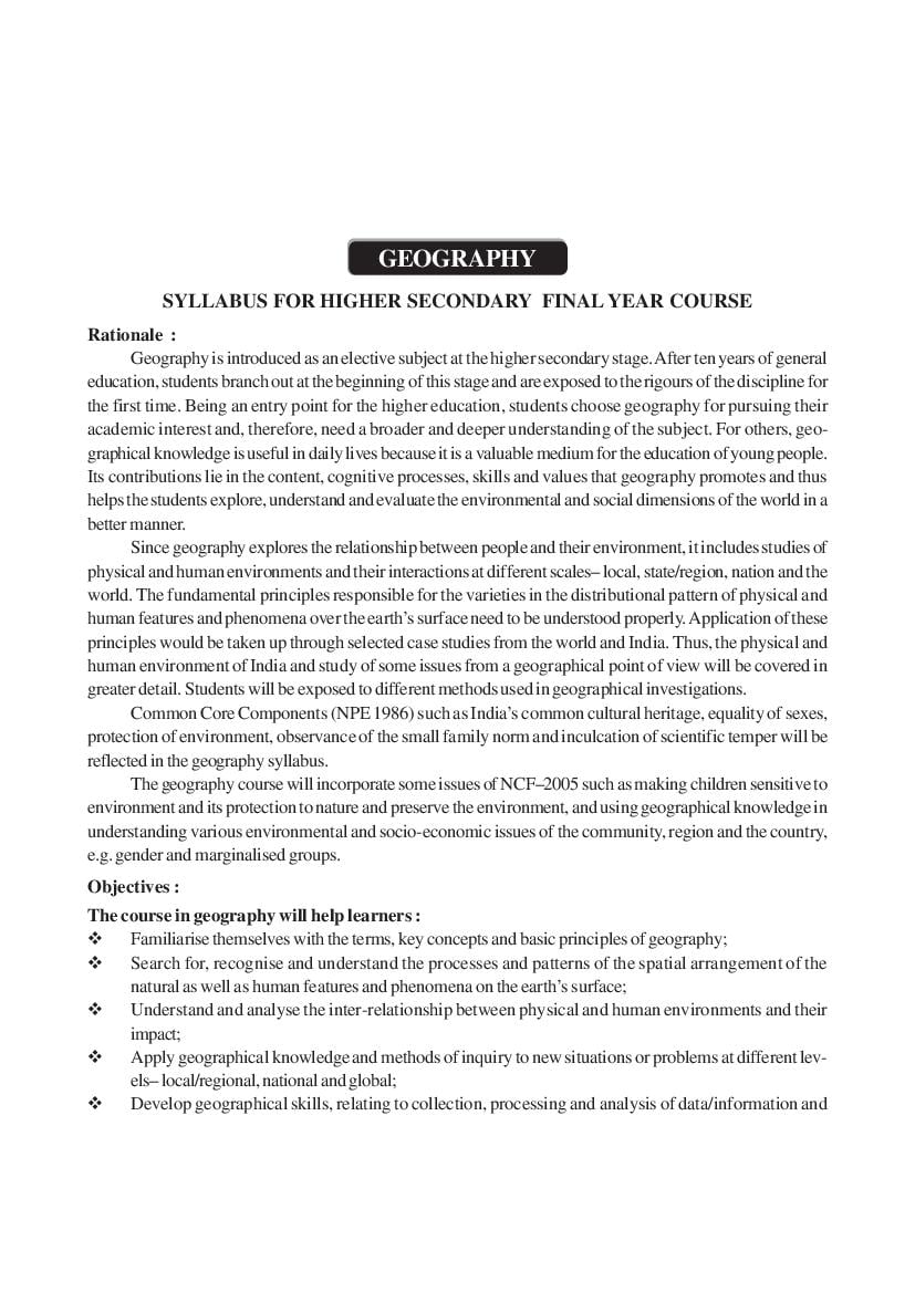
Geography is introduced as an elective subject at the higher secondary stage. After ten years of general
education, students branch out at the beginning of this stage and are exposed to the rigours of the discipline for
the first time. Being an entry point for the higher education, students choose geography for pursuing their
academic interest and, therefore, need a broader and deeper understanding of the subject. For others, geo-
graphical knowledge is useful in daily lives because it is a valuable medium for the education of young people.
Its contributions lie in the content, cognitive processes, skills and values that geography promotes and thus
helps the students explore, understand and evaluate the environmental and social dimensions of the world in a
better manner.
Since geography explores the relationship between people and their environment, it includes studies of
physical and human environments and their interactions at different scales– local, state/region, nation and the
world. The fundamental principles responsible for the varieties in the distributional pattern of physical and
human features and phenomena over the earth’s surface need to be understood properly. Application of these
principles would be taken up through selected case studies from the world and India. Thus, the physical and
human environment of India and study of some issues from a geographical point of view will be covered in
greater detail. Students will be exposed to different methods used in geographical investigations.
Common Core Components (NPE 1986) such as India’s common cultural heritage, equality of sexes,
protection of environment, observance of the small family norm and inculcation of scientific temper will be
reflected in the geography syllabus.
The geography course will incorporate some issues of NCF–2005 such as making children sensitive to
environment and its protection to nature and preserve the environment, and using geographical knowledge in
understanding various environmental and socio-economic issues of the community, region and the country,
e.g. gender and marginalised groups.
Objectives :
The course in geography will help learners :
Familiarise themselves with the terms, key concepts and basic principles of geography;
Search for, recognise and understand the processes and patterns of the spatial arrangement of the
natural as well as human features and phenomena on the earth’s surface;
Understand and analyse the inter-relationship between physical and human environments and their
impact;
Apply geographical knowledge and methods of inquiry to new situations or problems at different lev-
els– local/regional, national and global;
Develop geographical skills, relating to collection, processing and analysis of data/information and
Page 2
preparation of report including maps and graphics and use of computers wherever possible; and
Utilize geographical knowledge in understanding issues concerning the community such as environmen-
tal issues, socio-economic concerns, gender and become responsible and effective member of the
community.
One Paper Time : Three Hours Marks 100
Unitwise Distribution of Marks and Periods :
Unit No. Title Marks Periods
A. FUNDAMENTAL OF HUMAN GEOGRAPHY
Unit-I Human Geography 02 05
Unit-II People 08 18
Unit-III Human Activities 08 26
Unit-IV Transport, Communication and Trade 07 18
Unit-V Human Settlements 05 10
B. INDIA– PEOPLE AND ECONOMY
Unit-I People 02 05
Unit-II Human Settlements 04 08
Unit-III Resources and Development 09 20
Unit-IV Transport, Communication and International Trade 07 16
Unit-V Geographical Perspective on Selected Issues and Problems 06 15
C. ASSAM– LAND, PEOPLE, AND ECONOMY
Unit-I Physio graphy, drainage Climate 03 05
Unit-II People : Composition, distribution, Density 03 05
Unit-III Economy : Agriculture and industrial base and development 03 05
Unit-IV Transport and Communication 03 05
D. PRACTICAL WORK (UNIT I AND II)
Unit-I Processing of Data and Thematic Mapping 16 20
Unit-II Field Study or Spatial Information Technology 14 20
Total 100 201
Unitwise Distribution of Course contents :
A. FUNDAMENTALS OF HUMAN GEOGRAPHY
Unit I : Human Geography
Nature and scope
Unit II : People
Population of the world– distribution, density and growth;
Population change-spatial patterns and structure; determinants of population change;
Age-sex ratio; rural-urban composition;
Human development– concept; selected indicators, international comparisons.
Page 3
Unit III :Human Activities
Primary activities– concept and changing trends; gathering, pastoral, mining, subsistence
agriculture, modern agriculture; people engaged in agriculture and allied activities– some examples
from selected countries;
Secondary activities– concept; manufacturing : agro-processing, household, small scale, large
scale; people engaged in secondary activities– some examples from selected countries;
Tertiary activities– concept; trade, transport and communication; services; people engaged
in tertiary activities– some examples from selected countries;
Quaternary activities– concept; knowledge based industries; people engaged in quternary
activities– some examples from selected countries.
Unit IV : Transport, Communication and Trade
Land transport– roads, railways– rail network; trans– continental railways;
Water transport– inland waterways; major ocean routes;
Air transport– Intercontinental air routes;
Oil and gas pipelines;
Satellite communication and cyber space;
International trade– Basis and changing patterns; ports as gateways of international trade,
role of WTO in international trade.
Unit V : Human Settlements
Settlement types– rural and urban; morphology of cities (case study); distribution of mega
cities; problems of human settlements in developing countries.
B. INDIA : PEOPLE AND ECONOMY
Unit I : People
Population– distribution, density and growth; composition of population : linguistic and religious;
rural-urban population change through time– regional variations; occupation;
Migration : international, national– causes and consequences;
Human development– selected indicators and regional patterns;
Population, environment and development.
Unit II : Human Settlements
Rural settlements– types and distribution;
Urban settlements– types, distribution and functional classification
Unit III :Resources and Development
Land resources– general land use; agricultural land use– major crops; agricultural development
and problems, common property resources;
Water resources– availability and utilization– irrigation, domestic, industrial and other uses;
scarcity of water and conservation methods– rain water harvesting and watershed management
(one case study related with participatory watershed management to be introduced);
Mineral and energy resources– metallic and non-metallic minerals and their distribution;
conventional and non-conventional energy sources;
Industries– types and distribution; industrial location and clustering; changing pattern of selected
industries– iron and steel, cotton textiles, sugar, petrochemicals and knowledge based industries;
impact of liberalisation, privatisation and globalisation on industrial location;
Planning in India– target area planning (case study); idea of sustainable development (case study).
Page 4
Unit IV : Transport, Communication and International Trade
Transport and communication– roads, railways, waterways and airways; oil and gas pipelines;
national electric grids; communication networkings– radio, television, satellite and internet;
International trade– changing pattern of India’s foreign trade; sea ports and their hinterland
and airports.
Unit V : Geographical Perspective on Selected Issues and Problems
(One case study to be introduced for each topic)
Environmental pollution; urban-waste disposal;
Urbanisation-rural-urban migration; problem of slums;
Land Degradation.
C. ASSAM– LAND PEOPLE AND ECONOMY
Unit I : Physiography, Drainage Climat.
Unit II : People : Composition, Distribution, Density
Unit III : Economy : Agriculture and Industrial base and Development
Unit IV :Transport and Communication
D. PRACTICAL WORKS
Unit I : Processing of Data and Thematic Mapping
Sources of data;
Tabulating and processing of data; calculation of averages, measures of central tendency,
deviation and rank correlation;
Representation of data– construction of diagrams : bars, circles and flowchart; thematic maps;
construction of dot; choropleth and isopleth maps.
Use of computers in data processing and mapping.
Unit II : Field Study or Spatial Information Technology
Field visit and study : map orientation, observation and preparation of sketch; survey on
any one of the local concerns : population, ground water changes, land use and land-use
changes, poverty, energy issues, soil degradation, drought and flood impacts (any one topic
of local concern may be taken up for the study; observation and questionnaire survey may
be adopted for the data collection; collected data may be tabulated and analysed with diagrams
and maps).
OR
Spatial Information Technology
Introduction to GIS; hardware requirements and software modules; data formats : raster and vector
data, data input, editing and topology building; data analysis; overlay and buffer.
Note : There will be six text books, two for theory and one for practical work for each class.
***
Document Details
| Board / Org | Assam Board |
| Exam | Class 12 |
| Type | Syllabus |
| Pages | 4 |
| Updated | 22 Jul 2026 |