CBSE Class 12 Geospatial Technology Question Paper 2019
Finished viewing? Save it for later —
Download CBSE Class 12 Geospatial Technology Question Paper 2019 (PDF · 8 pages)About CBSE Class 12 Geospatial Technology Question Paper 2019
CBSE Class 12 Geospatial Technology Question Paper 2019 is available here for free download. Published by CBSE for Class 12, this question paper can be viewed online or downloaded as a PDF (8 pages). Candidates preparing for Class 12 can use CBSE Class 12 Geospatial Technology Question Paper 2019 to understand the exam pattern, the type of questions asked, and the overall difficulty level.
Frequently Asked Questions
How can I download CBSE Class 12 Geospatial Technology Question Paper 2019?
Open this page and click the Download button to save CBSE Class 12 Geospatial Technology Question Paper 2019 as a PDF. It is completely free on AglaSem Docs.
Is CBSE Class 12 Geospatial Technology Question Paper 2019 free to download?
Yes. CBSE Class 12 Geospatial Technology Question Paper 2019 can be viewed online and downloaded as a PDF free of cost on AglaSem Docs.
How many pages does CBSE Class 12 Geospatial Technology Question Paper 2019 have?
CBSE Class 12 Geospatial Technology Question Paper 2019 contains 8 pages, which you can read online or download together as a single PDF.
Where can I find more Class 12 study material?
You can find more Class 12 question papers, sample papers, syllabus, and answer keys on AglaSem Docs.
CBSE Class 12 Geospatial Technology Question Paper 2019 – Text
Read the full text of this question paper below — useful to quickly search, copy and reference the content online without downloading the PDF.
📄 View text version (8 pages)
Page 1
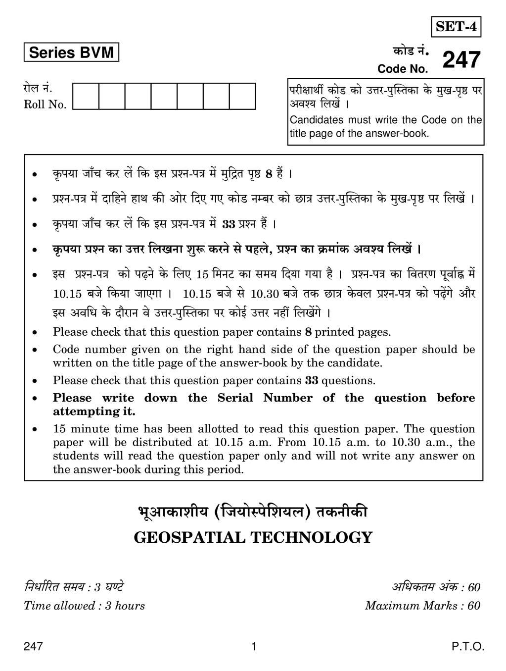
Series BVM H$moS> Z§.
Code No. 247
amob Z§. narjmWu H$moS >H$mo CÎma-nwpñVH$m Ho$ _wI-n¥ð >na
Roll No. Adí` {bIo§ &
Candidates must write the Code on the
title page of the answer-book.
H¥$n`m Om±M H$a b| {H$ Bg àíZ-nÌ _o§ _w{ÐV n¥ð> 8 h¢ &
àíZ-nÌ _| Xm{hZo hmW H$s Amoa {XE JE H$moS >Zå~a H$mo N>mÌ CÎma-nwpñVH$m Ho$ _wI-n¥>ð> na {bI| &
H¥$n`m Om±M H$a b| {H$ Bg àíZ-nÌ _| >33 àíZ h¢ &
H¥$n`m àíZ H$m CÎma {bIZm ewê$ H$aZo go nhbo, àíZ H$m H«$_m§H$ Adí` {bI| &
Bg àíZ-nÌ H$mo n‹T>Zo Ho$ {bE 15 {_ZQ >H$m g_` {X`m J`m h¡ & àíZ-nÌ H$m {dVaU nydm©• _|
10.15 ~Oo {H$`m OmEJm & 10.15 ~Oo go 10.30 ~Oo VH$ N>mÌ Ho$db àíZ-nÌ H$mo n‹T>|Jo Am¡a
Bg Ad{Y Ho$ Xm¡amZ do CÎma-nwpñVH$m na H$moB© CÎma Zht {bI|Jo &
Please check that this question paper contains 8 printed pages.
Code number given on the right hand side of the question paper should be
written on the title page of the answer-book by the candidate.
Please check that this question paper contains 33 questions.
Please write down the Serial Number of the question before
attempting it.
15 minute time has been allotted to read this question paper. The question
paper will be distributed at 10.15 a.m. From 10.15 a.m. to 10.30 a.m., the
students will read the question paper only and will not write any answer on
the answer-book during this period.
^yAmH$mer` ({O`moñno{e`b) VH$ZrH$s
GEOSPATIAL TECHNOLOGY
{ZYm©[aV g_` : 3 KÊQ>o A{YH$V_ A§H$ : 60
Time allowed : 3 hours Maximum Marks : 60
247 1 P.T.O.
Page 2
(i) Bg àíZ-nÌ _| 33 àíZ em{_b h¡ {Og_| go Aä`Wu H$mo {g\©$ 25 àíZ H$aZo H$s µOê$aV
h¡ &
(ii) àíZ-nÌ Xmo IÊS>m| _| {d^m{OV h¡ &
IÊS> A
~hþ{dH$ënr` àíZ /[aº ñWmZ ^[aE /grYo àíZ : Hw$b 12 àíZ em{_b h¡ Omo
1 – 1 A§H$ Ho$ h¢ & BZ_| go {H$Ýht 10 àíZm| Ho$ CÎma Xr{OE &
A{V bKw CÎmar` àíZ : BZ_| Hw$b 7 àíZ em{_b h¡, àË`oH$ 2 A§H$ Ho$ h¢ & BZ_| go
{H$Ýht 5 àíZm| Ho$ CÎma Xr{OE &
bKw CÎmar` àíZ : BZ_| Hw$b 7 àíZ em{_b h¡, àË`oH$ 3 A§H$ Ho$ h¢ & BZ_| go
{H$Ýht 5 àíZm| Ho$ CÎma Xr{OE &
IÊS> ~
XrK© CÎmar` /{Z~ÝYmË_H$ àíZ : BZ_| Hw$b 7 àíZ em{_b h¡, àË`oH$ 5 A§H$ Ho$ h¢ & BZ_|
go {H$Ýht 5 àíZm| Ho$ CÎma Xr{OE &
General Instructions :
(i) This question paper contains 33 questions out of which the candidate
needs to attempt only 25 questions.
(ii) Question paper is divided into two sections.
SECTION A
Multiple choice questions / Fill in the blanks/Direct questions :
contains total 12 questions of 1 mark each. Answer any
10 questions.
Very short answer type questions : contains total 7 questions of
2 marks each. Answer any 5 questions.
Short answer type questions : contains total 7 questions of 3 marks
each. Answer any 5 questions.
SECTION B
Long answer / Essay type questions : contains total 7 questions of 5 marks
each. Answer any 5 questions.
247 2
Page 3
^mJ I
SECTION A
PART I
ZmoQ> : ~mah àíZm| _| go {H$Ýht Xg àíZm| Ho$ CÎma {b{IE & àË`oH$ àíZ EH$ A§H$ H$m h¡ & 110=10
Note : Attempt any ten questions out of twelve questions. Each question is of
one mark.
1. {ZåZ{b{IV _| go H$m¡Z-gr ‘gwXÿa g§doXZ VH$ZrH$’, ‘Üd{Z’ H$m Cn`moJ H$aVr h¡ ? 1
(A) aS>ma
(~) {bS>ma
(g) gmoZma>
(X) Ñí`_mZ
Which of the following ‘Remote Sensing Technology’ uses ‘sound’ ?
(a) Radar
(b) Lidar
(c) Sonar
(d) Visible
2. S>r.~r.E_.Eg. H$m AW© h¡ 1
(A) S>oQ>m~og à~§YZ àUmbr
(~) S>oQ>m~og {d{Z_m©U àUmbr
(g) S>oQ>m~og {ZJamZr àUmbr
(X) S>oQ>m~og {_lU àUmbr
DBMS stands for
(a) Database Management System
(b) Database Manufacturing System
(c) Database Monitoring System
(d) Database Mixing System
3. S>r.Or.nr.Eg. H$m nyU© ê$n Š`m h¡ ? 1
(A) {S>OrQ>b ½bmo~b nmoµOreqZJ {gñQ>_
(~) S>mBJmoZb ½bmo~b nmoµOreqZJ {gñQ>_>
(g) S>mBdaµOZb ½bmo~b nmoµOreqZJ {gñQ>_
(X) {S>\«¢$Z{e`b ½bmo~b nmoµOreqZJ {gñQ>_
247 3 P.T.O.
Page 4
(a) Digital Global Positioning System
(b) Diagonal Global Positioning System
(c) Diversional Global Positioning System
(d) Differential Global Positioning System
4. gwXÿa g§doXZ VH$ZrH$ _| àW_ àd¥{Îm Š`m Wr ? 1
(A) hdmB© {MÌU (E[a`b \$moQ>moJ«m\$s)
(~) ~hþdU©H«$_ CnJ«h N>{d`m± (_ëQ>rñnoŠQ´>_ g¡Q>obmBQ> B_oOoµO)
(g) A§H$s` N>{d àg§ñH$aU ({S>OrQ>b B_oO àmogoqgJ)
(X) {S>OrQ>b \$moQ>moJ«m_oQ´>r
What was the first trend in Remote Sensing Technology ?
(a) Aerial Photography
(b) Multispectral Satellite Images
(c) Digital Image Processing
(d) Digital Photogrammetry
5. ^maV _| g§H$Q> H$m°b à~§YZ Ho$ {bE {H$Z Xÿa^mf Zå~am| H$m Cn`moJ {H$`m OmVm h¡ ? 1
(A) 100/101
(~) 100/102>
(g) 100/103
(X) 100/104
Which phone numbers are used for distress call management in India ?
(a) 100/101
(b) 100/102
(c) 100/103
(d) 100/104
247 4
Page 5
_____________ refers to the general form, structure or outline of
individual objects.
7. ^maV _____________ `y.Q>r.E_. µOmoZ Ho$ A§VJ©V AmVm h¡ & 1
India falls under _____________ UTM Zone.
8. {ÛAm`m_r dñVwAm| _| Ho$db b§~mB© Am¡a Mm¡‹S>mB© hmoVr h¡ bo{H$Z {ÌAm`m_r dñVwAm| _| EH$
A{V[aº$ Am`m_ hmoVm h¡, {Ogo _____________ H$hm OmVm h¡ & 1
2D objects have only length and width but 3D objects have an extra
dimension called ____________.
9. A_o[aH$s ajm {d^mJ Ûmam H$m¡Z-gr Zm¡g§MmbZ (Z¡{dJoeZ) CnJ«h àUmbr ewê$ H$s J`r h¡ ? 1
Which navigation satellite system is launched by the US Department of
Defense ?
10. ñdMm{bV Jm{‹S>`m± (H$ma) {bS>ma àUmbr na AmYm[aV h¢ & Eogr Jm{‹S>`m| _| AÝ` H$m¡Z-gr
^yAmH$mer` VH$ZrH$s Amdí`H$ h¡ ? 1
Self-driving cars are based on Lidar system. Which other Geospatial
technology is essential in such cars ?
11. {H$Ýht Xmo H$ån{Z`m| Ho$ Zm_ {b{IE Omo ^maV Ho$ Zm¡g§MmbZ (Z¡{dJoeZ) _mZ{MÌ àXmZ
1 1
H$aVr h¢ & + =1
2 2
Name any two companies which provide navigational maps of India.
12. ehar {Z`moOZ _| ^m¡Jmo{bH$ gyMZm àUmbr (Or.AmB©.Eg.) Ho$ {H$Ýht Xmo Cn`moJm| H$m C„oI
H$s{OE & 1
Mention any two uses of Geographical Information System (GIS) in
urban planning.
247 5 P.T.O.
Page 6
PART II
ZmoQ> : gmV àíZm| _| go {H$Ýht nm±M àíZm| Ho$ CÎma {b{IE & àË`oH$ àíZ Xmo A§H$ H$m h¡ &
25=10
Note : Attempt any five questions out of seven questions. Each question is of
two marks.
13. namdV©H$Vm ([aâboŠQ>|g) àH$sU©Z (ñH¡$Q>[a¨J) go {^Þ H¡$go h¡ ? ñnîQ> H$s{OE & 2
How is reflectance different from scattering ? Explain.
14. gwXÿa g§doXZ N>{d`m| _| ‘a§J’ (Q>moZ) H$m Š`m _hÎd h¡ ? `h N>{d ì`m»`m _| H¡$go _XX H$aVm
h¡ ? 1+1=2
What is the importance of ‘tone’ in remote sensing images ? How does it
help in image interpretation ?
15. ^m¡Jmo{bH$ gyMZm àUmbr (Or.AmB©.Eg.) Ho$ _w»` KQ>H$m| H$s gyMr ~ZmBE & 2
List the main components of Geographical Information System (GIS).
16. gd}jU _| {dídì`mnr pñW{V-{ZYm©aU àUmbr (Or.nr.Eg.) H¡$go _XX H$aVr h¡ ? ñnîQ>
H$s{OE & 2
How does Global Positioning System (GPS) help in surveying ? Explain.
17. dmhZ Q´>¡qH$J àUmbr Š`m h¡ ? BgH$s H$m`©-nÕ{V H$s ì`m»`m H$s{OE & 1+1=2
What is Vehicle tracking system ? Explain its functioning.
18. _mo~mBb ^m¡Jmo{bH$ gyMZm àUmbr (Or.AmB©.Eg.) Ho$ H$moB© Xmo bm^ (\$m`Xo) ñnîQ> H$s{OE & 2
Explain any two advantages of Mobile Geographical Information System
(GIS).
19. CÚ_ (EÝQ>aàmBµO) ^m¡Jmo{bH$ gyMZm àUmbr (Or.AmB©.Eg.) Š`m h¡ ? ñnîQ> H$s{OE & 2
What is Enterprise Geographical Information System (GIS) ? Explain.
^mJ> III
PART III
ZmoQ> : gmV àíZm| _| go {H$Ýht nm±M àíZm| Ho$ CÎma {b{IE & àË`oH$ àíZ VrZ A§H$ H$m h¡ &
35=15
Note : Attempt any five questions out of seven questions. Each question is of
three marks.
20. hmBnañnoŠQ´>b B_oOar H$s {H$Ýht VrZ {deofVmAm| H$s ì`m»`m H$s{OE & 3
Explain any three characteristics of hyperspectral imagery.
247 6
Page 7
Explain any three features of thermal remote sensing.
22. h_mao X¡{ZH$ OrdZ _| ^m¡Jmo{bH$ gyMZm àUmbr (Or.AmB©.Eg.) Ho$ {H$Ýht VrZ Cn`moJm| H$s
ì`m»`m H$s{OE & 3
Explain any three uses of Geographical Information System (GIS) in our
daily life.
23. ^m¡Jmo{bH$ gyMZm àUmbr (Or.AmB©.Eg.) _| S>oQ>m XO© H$aZo Ho$ {bE {H$Z VrZ {d{Y`m| H$m
Cn`moJ {H$`m OmVm h¡ ? ì`m»`m H$s{OE & 3
Explain three methods used to enter data into Geographical Information
System (GIS).
24. {dídì`mnr pñW{V-{ZYm©aU àUmbr (Or.nr.Eg.) Ho$ VrZ IÊS>m| H$s ì`m»`m H$s{OE & 3
Explain the three segments of Global Positioning System (GPS).
25. ehar `moOZm Am¡a {dH$mg _| ^m¡Jmo{bH$ gyMZm àUmbr (Or.AmB©.Eg.) H$m Cn`moJ H¡$go
{H$`m Om gH$Vm h¡ ? ì`m»`m H$s{OE & 3
Explain how Geographical Information System (GIS) can be used in
urban planning and development.
26. ^m¡Jmo{bH$ gyMZm àUmbr (Or.AmB©.Eg.) AmnXm à~§YZ Am¡a e_Z _| H¡$go _XX H$aVr h¡ ?
ì`m»`m H$s{OE & 3
Explain how Geographical Information System (GIS) helps in disaster
management and mitigation.
IÊS> ~
SECTION B
ZmoQ> : gmV àíZm| _| go {H$Ýht nm±M àíZm| Ho$ CÎma {b{IE & àË`oH$ àíZ nm±M A§H$ H$m h¡ &
55=25
Note : Attempt any five questions out of seven questions. Each question
carries five marks.
27. aS>ma àUmbr H$s H$m`©-nÕ{V Am¡a Cn`moJm| H$s ì`m»`m H$s{OE & 5
Explain the functioning and uses of Radar system.
247 7 P.T.O.
Page 8
A{YH$ gQ>rH$ Š`m| _mZm OmVm h¡ ? ñnîQ> H$s{OE & 1+4=5
What is the objective of image classification ? Why is supervised
classification considered more accurate for mapping classes ? Explain.
29. ñWm{ZH$ Am±H$‹S>m {díbofU (ñno{e`b S>oQ>m EZm{b{gg), ^m¡Jmo{bH$ gyMZm àUmbr
(Or.AmB©.Eg.) H$m g~go _hÎdnyU© nhby h¡ & Am±H$‹S>m| Ho$ {díbofU _| à`wº$ _hÎdnyU©
ñWm{ZH$ à{H«$`m CnH$aUm| (ñno{e`b Am°naoeZ Qy>ëg) H$s ì`m»`m H$s{OE & 5
Spatial data analysis is the most important aspect of Geographical
Information System (GIS). Explain the important spatial operation tools
used in data analysis.
30. ~ohVa OmZH$mar go ~ohVa {ZU©` hmoVo h¢ & gaH$ma Am¡a ~‹S>o {ZJ_m| _| {ZU©` boZo _| ^m¡Jmo{bH$
gyMZm V§Ì (Or.AmB©.Eg.) H$s ^y{_H$m H$mo EH$ A{V Amdí`H$ CnH$aU Ho$ ê$n _| ñnîQ>
H$s{OE & 5
Better information leads to better decision. Explain the role of
Geographical Information System (GIS) as an essential tool of decision
making in government and large corporations.
31. n¥Ïdr H$s gVh H$m AÜ``Z, {ZJamZr Am¡a à{Vê$n (_m°S>b) H$aZo Ho$ {bE gwXÿa g§doXZ
Am±H$‹S>m| H$m Cn`moJ H$aZo _| C„oIZr` àJ{V H$s JB© h¡ & hdmB© N>m`m{MÌm| go A§H$s`
\$moQ>moJ«m_oQ´>r ({S>OrQ>b \$moQ>moJ«m_oQ´>r) VH$ gwXÿa g§dXoZ Ho$ {dH$mg H$s àd¥{Îm`m| H$m C„oI
H$s{OE & 5
Remarkable progress has been made in utilizing remote sensing data to
study, monitor and model the Earth’s surface. Trace the trends of
development of remote sensing from aerial photographs to digital
photogrammetry.
32. {H$Ýht Xmo à_wI d¡pídH$ Zm¡g§MmbZ (Z¡{dJoeZ) CnJ«h àUm{b`m| H$m VwbZmË_H$ AÜ``Z
H$s{OE & 5
Compare any two main global navigation satellite systems.
33. ‘‘^m¡Jmo{bH$ gyMZm àUmbr _| {H$gr amoJ H$s OmZH$mar H$m {díbofU, gm_m{OH$ Am¡a
àmH¥${VH$ n`m©daU Ho$ g§X^© _| amoJ Ho$ ñdê$n (n¡Q>Z©) H$mo g_PZo _| ghm`H$ h¡ &’’ ñnîQ>
H$s{OE & 5
‘‘GIS analysis of health data is helpful in explaining disease patterns in
terms of social and natural environment.’’ Explain.
247 8
Document Details
| Board / Org | CBSE |
| Exam | Class 12 |
| Type | Question Paper |
| Pages | 8 |
| Updated | 30 Apr 2026 |